Bike Tour · Gaistal
Seebensee & Seebenalm
Start: Salzbach car park (P3–P5), Gaistal
27.8
km
570
m elev ↑
4 h
Duration
- Dogs allowed
The Seebensee at 1,657 m is one of the most celebrated and beautiful destinations in the Zugspitze region – and reachable from the Gaistal by bike. The route covers a scenic 27.8 km with 570 m of elevation gain through the entire valley to the turquoise-green mountain lake. Anyone with the fitness and a bit of time will be rewarded with one of the finest views in Tyrol.
The Seebensee: Natural Wonder in the Wetterstein
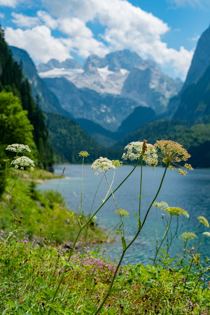
The Seebensee lies at 1,657 m in a high-alpine cirque on the border between Tyrol and Bavaria. Its characteristic turquoise-green water is created by meltwater from the surrounding glaciers and the pale limestone of the Wettersteingebirge. In 2017 an Austrian TV show voted it the “most beautiful spot in Tyrol” – in summer the lake mirrors the surrounding peaks and the Zugspitze massif, a sight that appears on many postcards from the region.
The Drachensee is in close proximity – slightly less well-known, but equally beautiful and considerably quieter. Anyone cycling to the Seebensee should plan the short detour to the Drachensee.
Route Description
Start at Salzbach car park (P3–P5): From the Gaistal car park, the Ganghoferweg leads into the valley – a scenic, only gently climbing forest trail along the Leutascher Ache. Pure riding time to the Seebensee is around 1 hr 40 min, with the highest point of the route at 1,658 m.
Past Gaistalalm and Tillfussalm: The route passes both staffed alpine huts – ideal spots for a break before continuing further into the valley.
The final kilometre before the lake: The last kilometre before the Seebensee becomes noticeably steeper, with a loose, gravelly surface in places. Expect to push rather than ride here – especially on a regular mountain bike. With an e-bike this final stretch is still manageable relatively comfortably.
At the Seebensee: After the last climb, the view opens up onto the turquoise-green water, framed by rock and the panorama of the Zugspitze massif. Allow plenty of time for a break and to take in the view – the onward path to the quieter Drachensee is also worth the extra steps.
Return journey: Head back the same way – noticeably faster downhill than the outbound leg.
Hiking to the Seebensee: the Classic Walk
Prefer to experience the Seebensee on foot? There is no short walking route from the Gaistal – the classic hike to the Seebensee starts on the other side of the Wetterstein range, from the Ehrwalder Alm near Ehrwald. From there the lake is reached in around 1–1.5 hours on foot, considerably shorter than the bike route from the Gaistal. Anyone who prefers walking to cycling is better served starting from there.
Refreshment Stops
| Location | Position | Highlight |
|---|---|---|
| Gaistalalm | on the route | Sun terrace, Brettljause |
| Tillfussalm | on the route | Rest stop before the final climb |
Requirements
The tour is rated moderate: 27.8 km with 570 m of ascent and descent, pure riding time approx. 1 hr 40 min. The final kilometre before the lake is steep and gravelly, requiring sure footing while pushing the bike. Due to its length, the route is generally too demanding for children.
Recommendation: Allow around 4 hours for the full outing including breaks at the huts and the lake, sturdy footwear for pushing the bike, rain and sun protection, plenty of water.
Tips for the Tour
- E-bike recommended: With 27.8 km and 570 m of elevation gain, an e-bike is significantly more comfortable than a regular bike – especially on the return leg
- The final kilometre: Loose gravel and steepness make pushing necessary – sturdy footwear helps here too
- Early start: On fine summer days the Seebensee gets busy – arrive at the car park early
- Nature conservation: In the nature reserve around the lake: dogs must be kept on lead, no litter, stay on the marked paths
- Refreshments en route: Gaistalalm and Tillfussalm are good spots for a break halfway
- Walking alternative: If you’d rather hike, start from the Ehrwalder Alm instead of the Gaistal
The Seebensee tour is the most impressive bike outing in the Gaistal – for all those willing to invest the 27.8 km and 570 m of elevation gain.
Route map
Frequently asked questions about Seebensee & Seebenalm
- How difficult is Seebensee & Seebenalm?
- Seebensee & Seebenalm is rated Moderate. The route is 27.8 km long. Elevation gain: 570 m.
- How long does Seebensee & Seebenalm take?
- The tour takes approximately 4 h.
- Are dogs allowed on the Seebensee & Seebenalm route?
- Yes, dogs are welcome on this route.
- Is Seebensee & Seebenalm family-friendly?
- This route is better suited to more experienced hikers.
Questions about the route?
The AI guide knows all the details about this tour