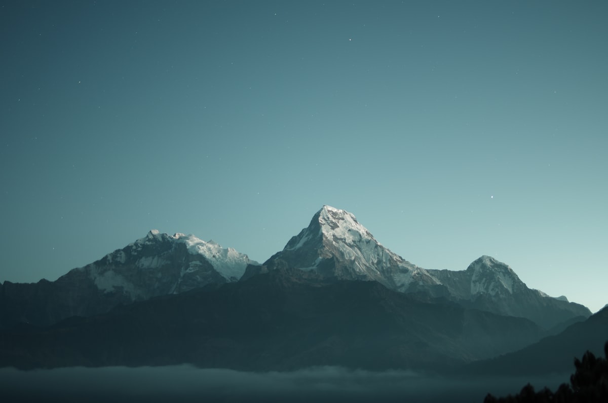
The High Alms Circular Hike is considered the classic tour of the Gaistal – and rightly so. Three staffed huts, 650 metres of elevation gain, Zugspitze panorama, and a loop route that lets you complete the whole thing without retracing your steps.
At a glance
| Info | Detail |
|---|---|
| Start/Finish | Stupfer car park (P2) |
| Length | 12.5 km |
| Elevation gain | 650 m |
| Duration | approx. 4.5 hours (without meal stops) |
| Difficulty | moderate |
| Circular route | yes |
| Dogs | permitted |
| GPS track | Komoot ID 831979650 |
The three refreshment stops
1. Wettersteinhütte (1,717 m) (currently unstaffed, no tenant since autumn 2025)
After roughly 2 hours of ascent, the first highlight awaits – a breathtaking setting overlooking the surroundings. Currently no meals or overnight stays available.
2. Wangalm (1,753 m)
Reachable from the Wettersteinhütte in approx. 30–40 minutes. The Wangalm at the foot of the Gehrenspitze is one of the most beautiful viewpoints in the Gaistal. Dogs welcome.
3. Hämmermoosalm (1,417 m)
The descent leads to the Hämmermoosalm – renowned for its award-winning Tyrolean cuisine. Closed on Wednesdays. This is also where the wide forest track back to the car park begins.
Ascent or descent first?
Recommendation: ascend via the Wettersteinhütte, descend via the Hämmermoosalm.
The reason: the ascent route is steeper and more demanding – it’s easier going up. The return via the Hämmermoosalm is wider and perfect for winding down.
What you need to know
- Start early: Summer thunderstorms typically build from 1–2 p.m. – you should be on your descent by then at the latest
- Food and drink: Wangalm and Hämmermoosalm serve hot meals (Wettersteinhütte currently unstaffed) – still worth bringing some provisions
- Season: Wangalm and Hämmermoosalm open from mid-June; the circular hike is possible before then, but without refreshment stops
- Poles: Recommended for the descent from the Wangalm – the terrain is a little steep
The route is also listed in the Route Overview – including the Komoot link for the GPS track.