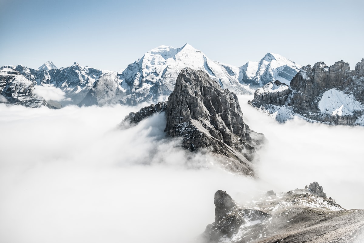
The Seebensee is one of the most beautiful mountain lakes in the Northern Alps. From the Gaistal, however, it’s not a day-hike destination on foot – the route has to be covered by (e-)bike. Here’s everything you need to know.
Seebensee from the Gaistal – Quick Facts
| Info | Detail |
|---|---|
| Altitude (Seebensee) | 1,657 m |
| Start | Salzbach car park (P3–P5), Gaistal |
| Length | 27.8 km out and back |
| Elevation gain | 570 m |
| Riding time | approx. 1:40 hours |
| Difficulty | moderate |
| Mode of travel | Bike / e-bike (not a pure on-foot hike from the Gaistal) |
The Route Step by Step
1. Salzbach car park → Gaistalalm & Tillfussalm A scenic, only gently ascending forest path along the Leutascher Ache. Two refreshment stops along the way.
2. Tillfussalm → Seebensee The final kilometre before the lake becomes steep and partly coarse gravel – it may be necessary to dismount and push the bike here.
3. At the Seebensee Views of the Zugspitze massif. In 2017, the lake was voted the “most beautiful spot in Tyrol” on an ORF TV show. Nearby lies the quieter Drachensee.
4. Return Same route back to the Salzbach car park.
On Foot to the Seebensee – the Classic Hike
For those who’d rather hike than bike: the well-known on-foot hike to the Seebensee doesn’t start in the Gaistal, but from the Ehrwald side (Ehrwalder Alm) – shorter, and designed as a pure walking route.
When Is the Best Time?
- June–September: Main season, huts along the way are open, the trail is usually snow-free
- May: For experienced riders only, residual snow possible on the final kilometre
- October: Quieter, but the huts along the route are often already closed
What You Absolutely Need to Know
- Equipment: An e-bike is recommended for the distance; a regular bike makes it considerably more demanding
- Final kilometre: Gravel/steep – push the bike on foot here
- Weather: Thunderstorms can build quickly – be at the lake in good time and head back promptly
- Parking: Start early on weekends – the Salzbach car parks fill up fast
You can also find the route in the route overview.